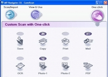
Enables you to scan in documents, photos or access images.
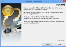
It can be used to download the A-GPS data for cameras.
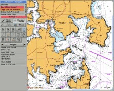
Comprehensive marine navigation software.
Virtual vision or "Fly On Map" helps to locate places in bad weather
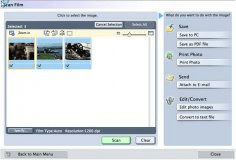
It allows you to scan, save and print photos and documents.